By Ashley Peterson
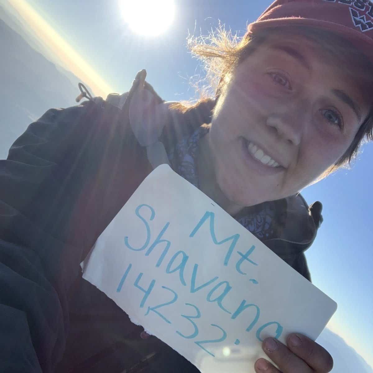
If you are looking for a nearby adventure, the most accessible 14ers from Gunnison are Shavano (14,229’) and Tabeguache (14,155’). Shavano is named after a Ute war chief whose name was “Tarbiochaket,” but he did not often go by this name. French fur traders called him “Chavaneaux,” which translates as “blue flowers,” but was Americanized to the current “Shavano.” Shavano was the war chief to Chief Ouray of the Tabeguache band of Utes starting in the 1850s, and that is where these two peaks derive their names.
Chief Shavano was memorialized with a mountain naming for his acts of peace. In the 1860s, he helped Kit Carson stop a young Ute warrior who wanted to attack some white settlers, and likely kept violence from occurring. He was also part of a mediation process in 1873 that kept the Colorado Territory from open conflict between miners and the Utes.
If you leave town and head east towards Monarch Pass before you hit Salida you will find the road that will take you to these two. This is all BLM land and there are tons of great campsites here for before and after your hike. Due to their proximity to Gunnison, they were some of the first 14ers I summited!
As always, before heading out, CHECK THE WEATHER. And once you have checked it, check it again. And I don’t just mean with your phone’s standard, lackluster weather app. Use NOAA’s app or something equivalent. Monsoon season and afternoon thunderstorms in the winter are no joke. Be prepared to turn around if conditions change when you’re hiking. Start in the morning, as early as you’re willing. Prepare yourself as best you can with the necessary food, water, and gear before setting out.
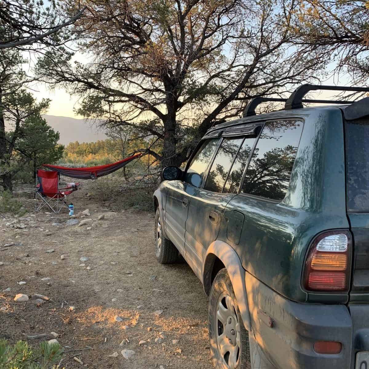
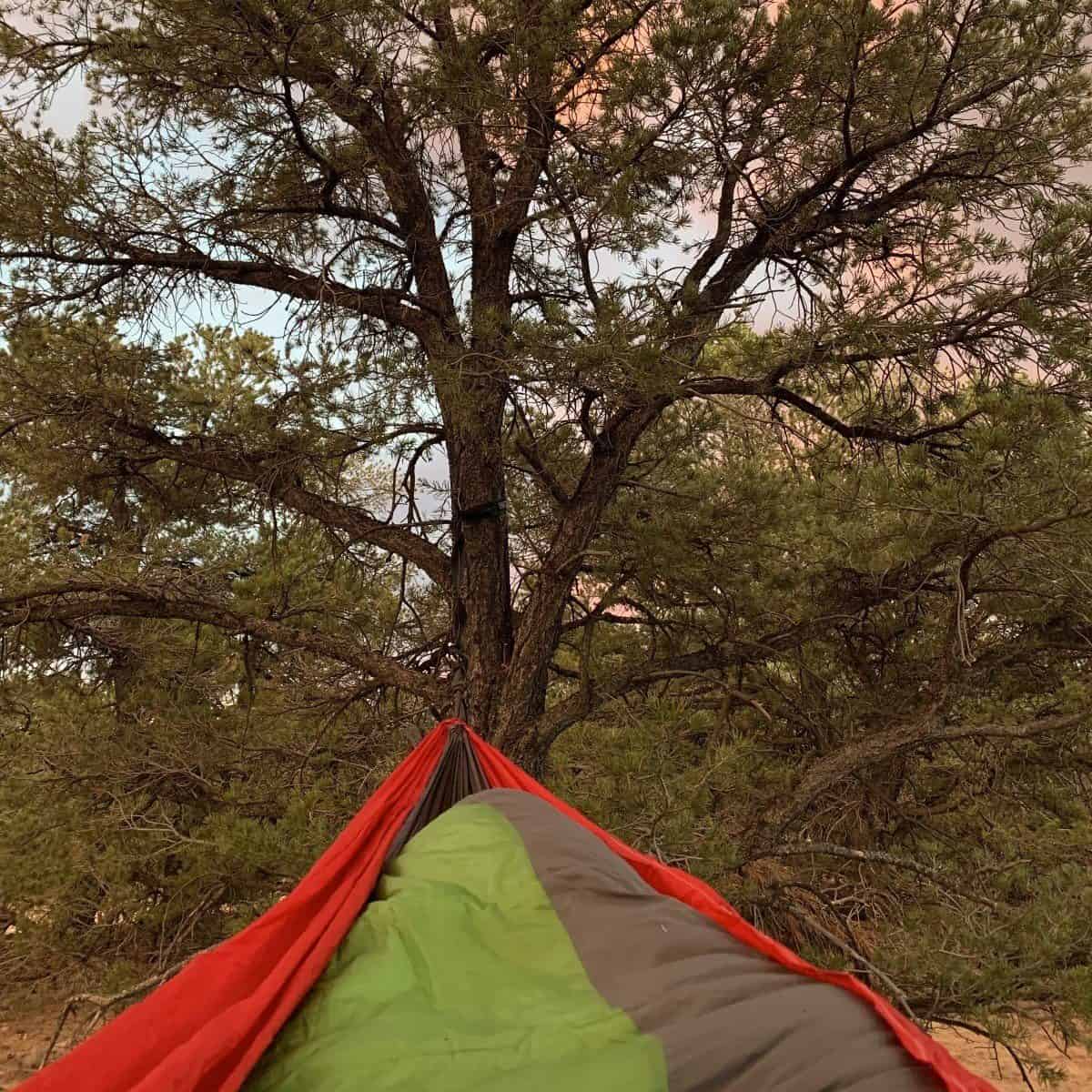
My camp just off the BLM road
Shavano and Tabeguache are connected by a saddle, so you’ll hit Shavano first, and if you feel like continuing, you can drop down in the saddle and then climb back up to summit Tabeguache. Roundtrip the total hike is approximately 11 miles and rated Class 2 due to some looser, chossy sections.
This is a great hike but if you’re going to do both peaks, be warned, you lose about 600’ of elevation as you’re descending into the saddle and will need to gain it back for the next summit. Doing Shavano by itself is still 9 miles, so tacking on the extra peak for only two extra miles is definitely worth it if you’re feeling good!
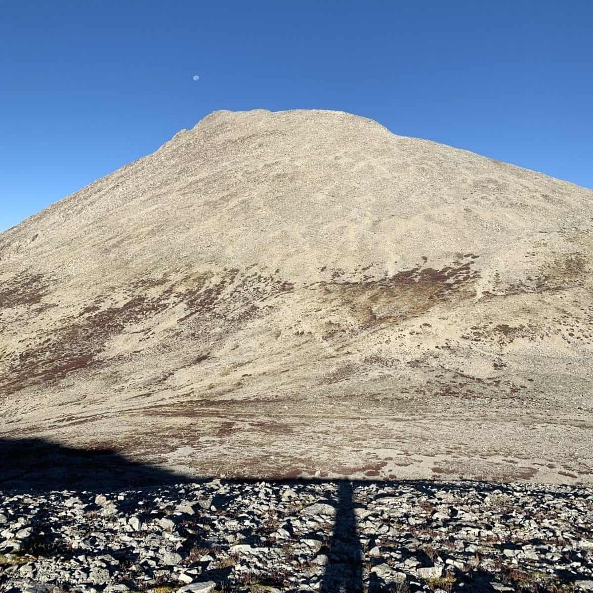
Looking up at Tabeguache
When you are all done, head back to the BLM land, make some food, and hang up your hammock for the perfect end to an awesome day.
If you continue driving past Monarch and turn left onto Hwy 285, before you hit Buena Vista, you will take a left and eventually find yourself at Antero’s ungodly 4×4 road. The drive from Gunnison takes a little under 2 hours. (You can use AllTrails to get directions to right here). I have taken the Hobo Rocket (my 4Runner) on some gnarly 4×4 roads. But this. This is different. It is extremely rough.
If you do not have some crazy lifted beast of an offroading machine, please do not drive this road. It is not worth it! I drove about 2 miles up before I stopped and hiked the rest of the way; I had already hiked Huron, another 14er, and was trying to shave off mileage but the road was just too rough for me. It is a long hike, so I can see the temptation to drive, but you have to do whatever you are comfortable with, and what your car is capable of.
This peak was named after Chief Antero of the Uintah band of the Ute people. Antero is well known for its gem deposits and has one of the highest concentrations of aquamarine in the United States. It stands at 14,269 feet tall, making it the tenth highest 14er in Colorado, and falls within the Sawatch range.
From the lower trailhead, below the gnarly 4×4 road, the hike is 15.5 miles with an elevation gain of somewhere near 5,000 ft. The hike is almost entirely on a road of round rock the size of your fist. These rocks get annoying to walk on after a while, and they are particularly slippery on the descent, so watch your step. There will also be OHVs and Jeeps passing you along the trail as these guys can make it almost all the way to the summit. The summit had a beautiful view on another glorious bluebird day, but as the route is almost entirely on a road, this was not one of my favorite hikes.
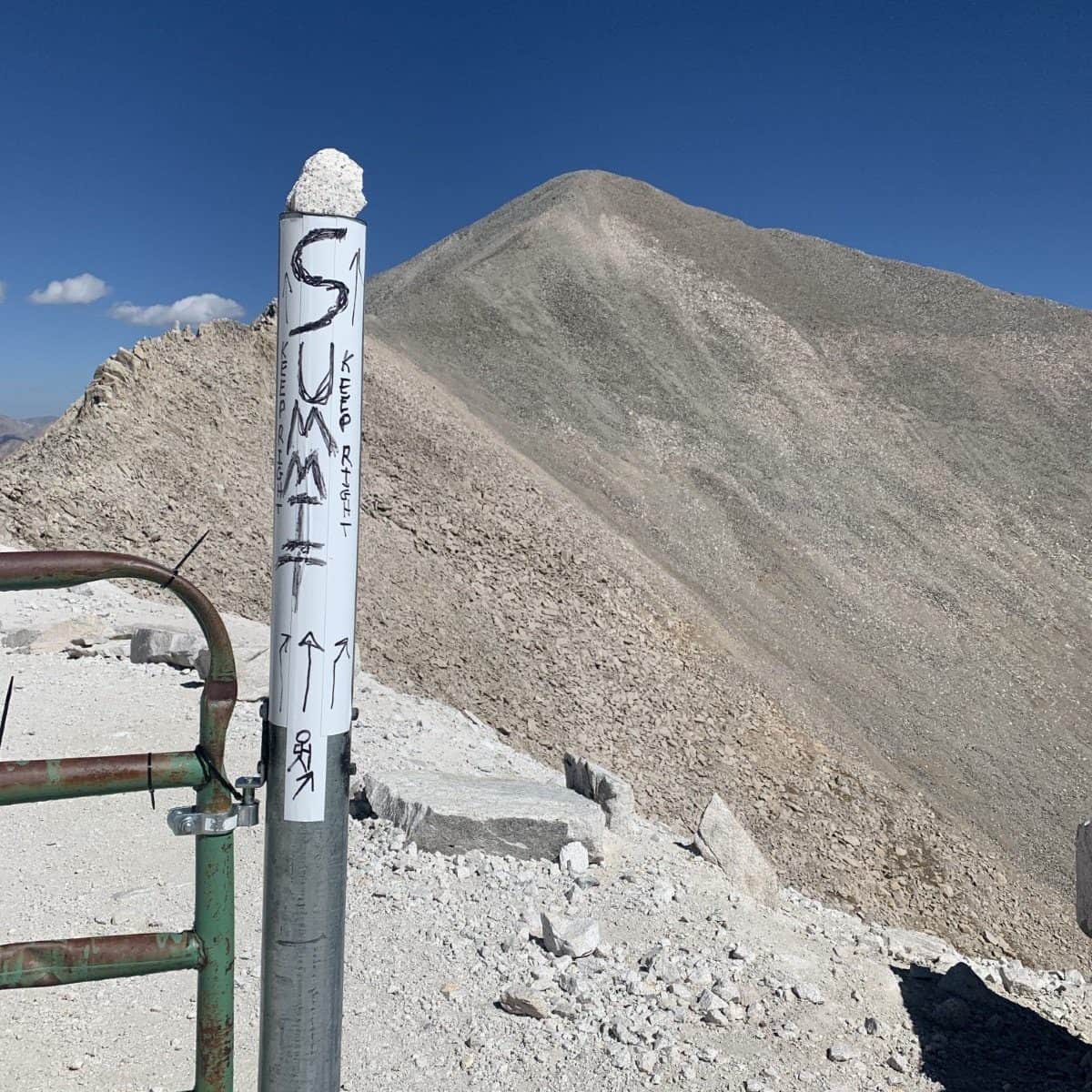
Antero Summit
If you want to hike one of the least popular 14ers, “the loner peak”, head to San Luis Peak (14,014’). The standard route is Class 1 and around 14 miles roundtrip. I don’t know why this summit is so unpopular, it might be because it is so out of the way without any other nearby 14ers, or because the hike itself is fairly uneventful, but whatever the reason, I appreciated the seclusion of this hike.
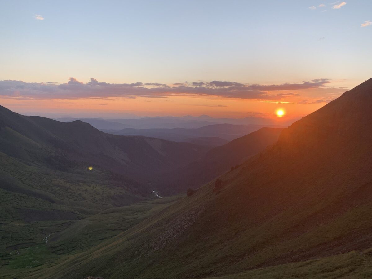
Instead of a sizeable parking lot like virtually all other 14ers I have been to, this trailhead is just a pull-off on the side of the road called Stewart Creek. It is a decent hike that meanders through the woods and valley before gaining the ridge and crossing quite easy rock to the summit. The sun rose just before I gained the ridge, and it was most certainly a beauty.

These hikes are all easily accessible from Gunnison. Being prepared will help you have a wonderful time on these mountains.
As always, happy peak bagging!