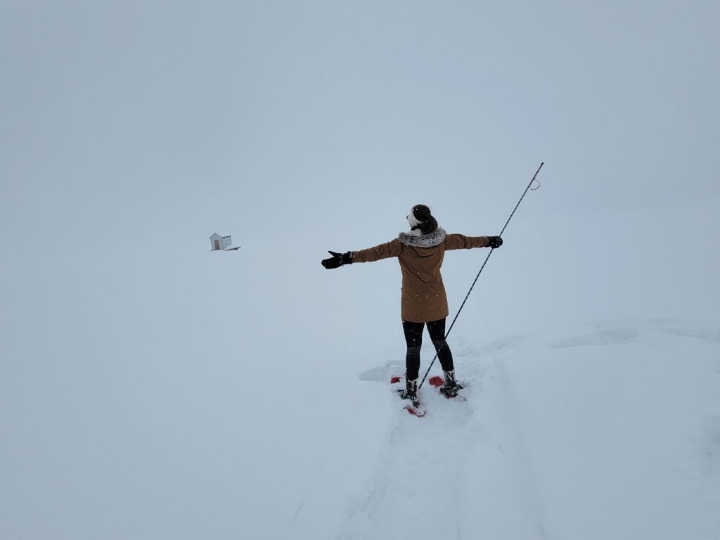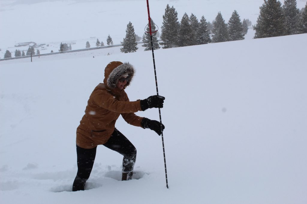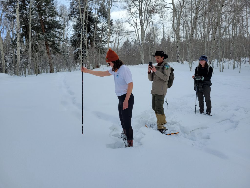
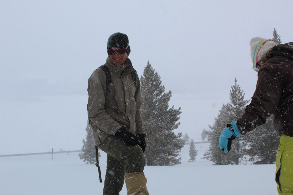
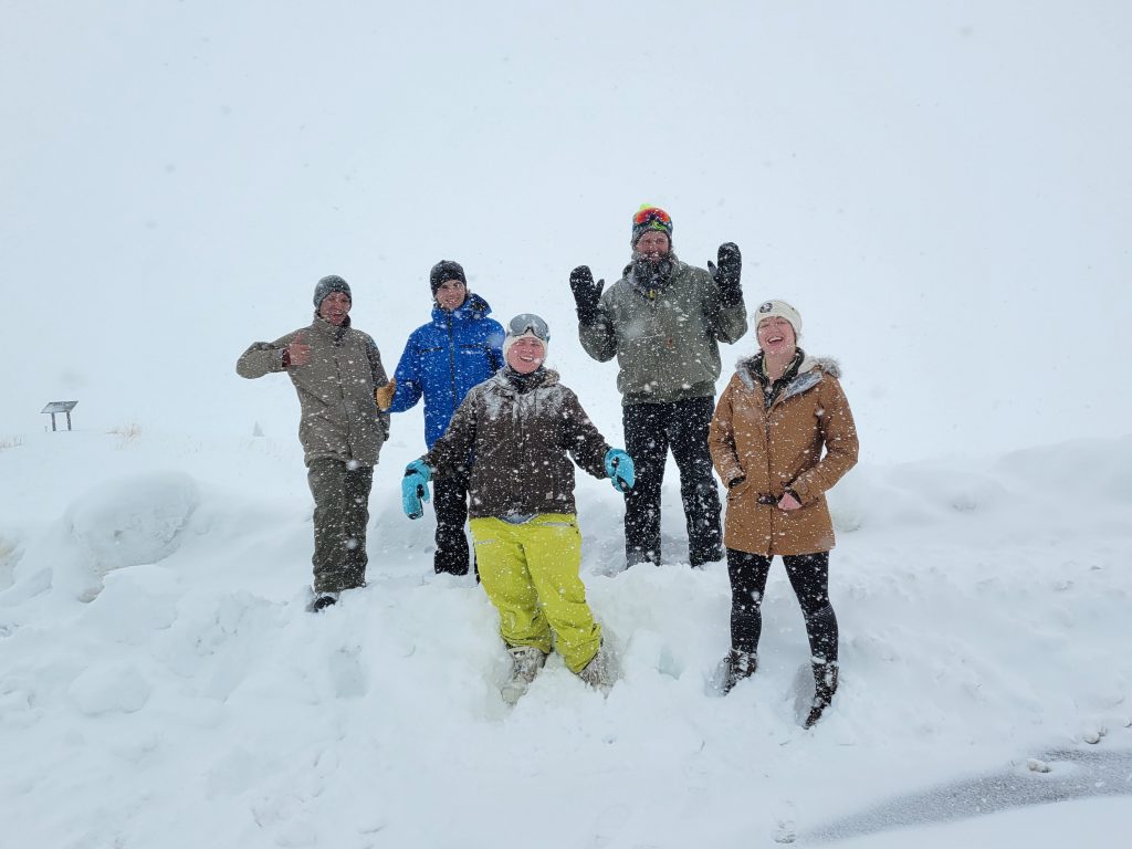
This past weekend, Western’s Water Channel (WWC), a campus club dedicated to water-based research and education, held its fourth annual iteration (always held in the first weekend of March), taking measurements of snowpack at Mill Creek and Taylor Reservoir using avalanche probes.
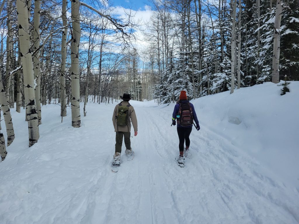
Over the course of two days, eight different Western students (along with two community members and even a faculty member!) participated in the effort, led by Max Sawyer, a 3+2 student completing his Master’s of Environmental Management (MEM) degree this spring.
Sawyer co-founded WWC in the Fall of 2018 with a group of Dr. Jeffrey Sellen’s Water Policy students. “The goal of the club was to continue to share our ideas about innovative approaches to water policy in Gunnison and in Colorado and to help connect students to professionals in order to promote education and action,” adds Sawyer.
For Sawyer, his favorite aspect of the survey is simply getting outside and snowshoeing around at two beautiful valley locations. He is quick to note the variability around the surveys:
“After four years of conducting the annual snow survey on the first weekend of March, the biggest trend I have noticed is how much the weather and snow conditions can change between sample days and sample years. We have surveyed years with exceptional snowpack and years with limited snowpack, and even between our two sample days we can have weather extremes where we might be sampling in t-shirts one day and heavy coats the next,” says Sawyer.
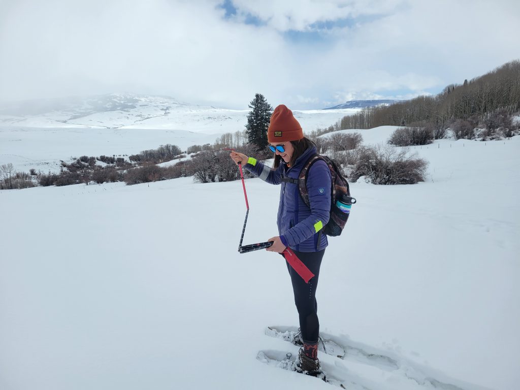
This year, snow measurements largely fell between 90 and 110 centimeters, above average for the last few years with the aid of some recent precipitation. 2021 was on the lower end of the spectrum, with typical measurements ranging from roughly 65 to 100 centimeters. Compare that to the 2018-19 snow year, when measurements up at Taylor Reservoir topped 200 centimeters.
The deepest measurement in 2022 came at Taylor Reservoir at 120 centimeters. Snow fell on both survey days, with near-whiteout conditions at Taylor on Sunday, although higher temperatures and melting the previous few weeks likely had a role in decreasing this year’s potential.
The snow survey is part of the citizen science project Community Snow Observations, and is recorded on the Mountain Hub app, specifically designed for outdoor adventurers to share their experiences and record citizen science data. The open-source data is used by NASA to supplement SNOTEL (snow telemetry) data in the organization’s runoff projections, and is available for usage in other scientific projects, which includes snowpack modeling to examine annual differences in snowfall and accumulation.
SNOTEL is a program operated by the Natural Resources Conservation Service (NRCS), and utilizes more than 700 sensors placed across 11 states to gather automated snow data for a variety of purposes, including long-term climate research, shorter term water supply prognostications, and flood forecasts.
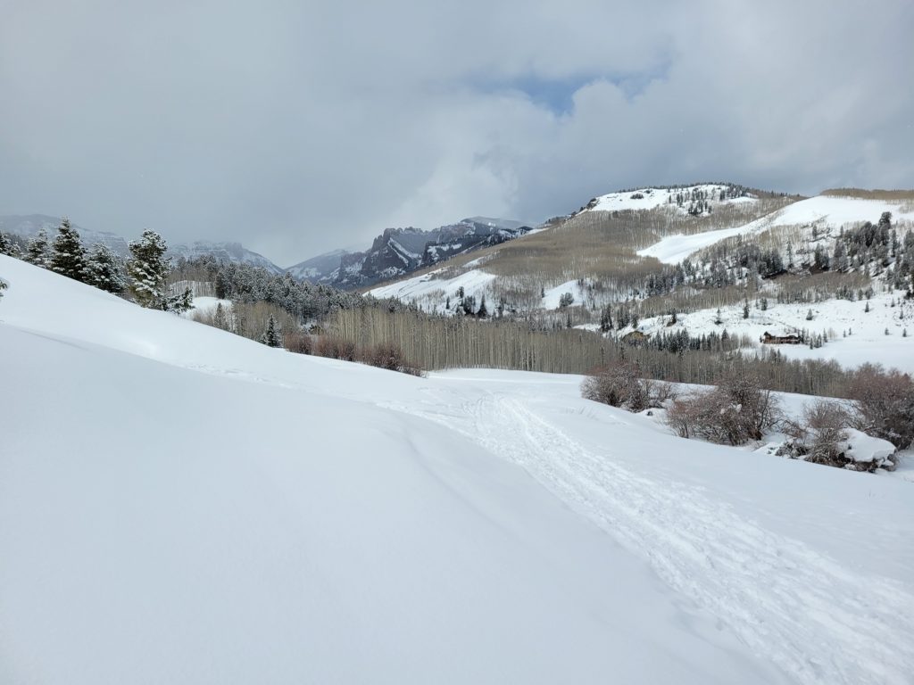
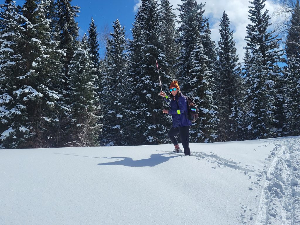
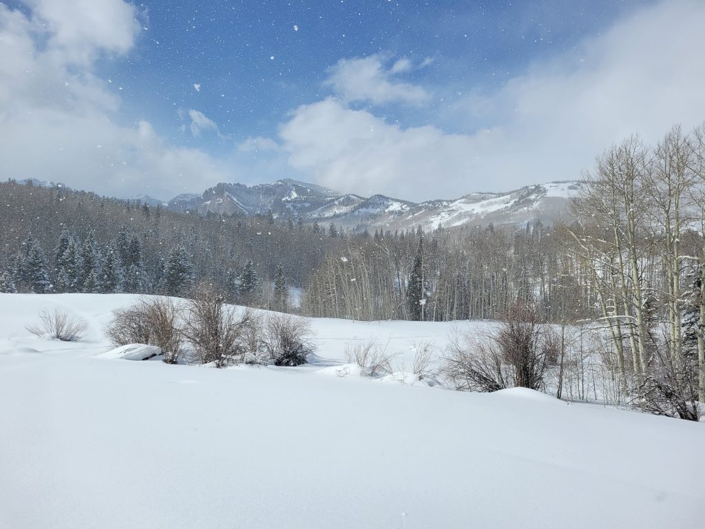
Without further ado, here’s some more photos from the surveys!