
by Ashley Peterson

You do not have to go far to hike some great peaks in the Gunnison Valley. Hikes around here range widely in difficulty and length, so there is something for everyone. Remember to take the necessary precautions; bring plenty of water, food, and sunscreen.
Always be prepared and know the specifics of your chosen hike. It is a good rule of thumb to plan to get below tree line after noon during the summer, and to try to hold to that rule for most of the year as inclement weather tends to roll in around noon, or shortly after, in the Rocky Mountains.
A quick aside to talk about hiking “classes”, or ratings: each hike is rated as a Class 1-5. Please do your research and know what you’re getting into on a hike. I will briefly talk about each class, with information provided from Sierra Trading Post. Starting at the bottom, Class 1 is a low-risk hike on an easy-to-follow trail; technical skills are not necessary. Class 2 is getting into rockier terrain and means you might be getting your hands involved for extra balance on scree and talus fields, it also means the route may not always be well defined.
Class 3 often involves scrambling up large rocks or steep, somewhat exposed, slopes. Typically, a helmet is a good idea once you get to Class 3. Class 4 is where you may start wanting gear, such as climbing ropes, and is more of a mountaineering experience than a hike. Class 5 is full on rock climbing with all the bells and whistles needed. Always consider your experience and comfort level when choosing a hike.
Signal Peak (9,003’), located just north of campus, is a pretty mellow hike. It is long because you cover quite a bit of ground, but the gain is very gradual. According to AllTrails, you can make this hike into a loop that is about 9 miles long. The trail for this peak starts behind Kelley Hall on campus.
Up in Crested Butte, many intermediate level peaks are accessible to you. West of CB, just past Lake Irwin, you can hike up Scarp Ridge to Mt. Emmons (12,343’). I took a friend from Texas on this hike to do his first ever mountain! The roundtrip hike is about 8 miles in total, with awesome views of Mt. Crested Butte, Gothic, and many further ranges on a clear day.
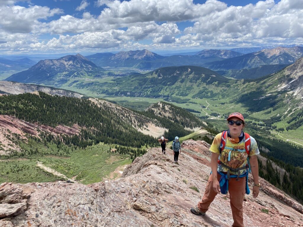
Hiking Mt. Crested Butte (12,162’) is a must if you’re in the area! There is a winding path that switchbacks up the side of the mountain. If you feel so inclined, you can also pay a handsome fee to take the lift, the hike from the top of the lift is about 2 miles round trip. Again, views from the top are outstanding. Plan for a few hours in total. Pro tip: anyone can ride the lift down for free; you only pay to go up!
Avery Peak (12,653’), up the road from Gothic and north of Mt. CB, is an adventure that you’d be lucky to have! You can hike a Class 1 route up Avery, but you can also take the Class 4 route up the red face of the mountain. The Class 4 route has been the highlight of my hiking in CB for sure! Please take helmets, the rock is chossy (slippery and loose) in some areas. You can find more details about this route on the Mountain Project app.
Teocalli (13,208’) is a gnarly drive, but if you’ve got a 4×4, you can make it all the way to the trailhead. You can obviously do this hike from further back if you can’t make it all the way to the TH, but if you’ve got a rig like my Hobo Rocket (Toyota 4Runner), you can make it with careful driving. The hike up Teocalli is a great time. It goes through the forest before popping out and heading straight up till you turn left and reach a short Class 2 section and the summit.
If you’re looking for a more technical summit, head on over to Purple Mountain (12,958’) from the Paradise Divide TH. You can take Slate River Road, just north of CB to get there, but there are a few driving options depending on what you’re comfortable with. The hike starts out on the side of a mountain; there’s a lot of scree, so watch your step. Eventually you turn off and head into some grass and more scree.
Finally, you make the ridge and have some fun Class 2 ridge-walking until you hit the extremely loose Class 3 scree up the final pitch. This section is LOOSE. Give space and try to stay on route. A helmet is recommended. I am not quite sure why they call this mountain purple, but it’s still a fun hike.
Please be prepared for anything. Mountains are unpredictable and preparation is key. As someone wise once said, “proper planning prevents piss poor performance”. Please plan and prepare so you can have a great day in the mountains!
Gerry Roach is the Colorado mountain guru; if you don’t know him, look him up. He gives great tips and route descriptions. AllTrails can also be a very useful tool. If you download the app and add a hike to your favorites, you can pull it up when you’re offline (on the trail) and it’ll show you where you are along the route and how much elevation you’ve gained.
Have fun and stay safe out there!